


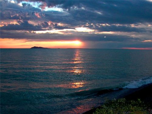
Alakol Lake (Kazakh: Алакөл, Turkic "motley lake") is a lake located in the Almaty and Shyghyz provinces, east central Kazakhstan. Its elevation is 347 m (1,138 ft) above sea level.
The lake is the northwest extension of the region known as the Dzhungarian Gate (Alataw Pass), a narrow valley connects the southern uplands of Kazakhstan with arid northwest China. The Dzhungarian Gate is a fault-bounded valley (see vertical line on the image along the southwest side of the lake) where the elevation of the valley floor is between 350 and 450 m above sea level and the peaks of the Dzhungarsky Alatau range (lower left) reach 4,463 m (14,642 ft) above sea level. Two well-defined alluvial fans are visible where mountain streams cut through the faulted landscape to the southwest of the lake.
Alakol Lake, a salt lake, has a drainage basin of 65,200 km2 (25,200 sq mi) and receives water periodically from the southerly draining Urdzhar River at the north end of the lake. The surface area of the lake is 2,650 km2 (1,020 sq mi). It is 54 m (177 ft) deep at its maximum depth, with a volume of 58.6 km³. A swampy, lowland connects the northwest end of Alakol Lake with the lighter-colored Sasykkol Lake (bottom center).
The Alakol State Sanctuary has been created to protect the area for the lake is an important breeding and nesting ground for various wetland birds, notably the very rare Relict Gull. Piski Island has flocks of flamingo, and 40 species of other birds.
The largest island in Alakol Lake is Ul'kun-Aral-Tyube. It is located in the center of the lake.
Agricultural activity in this arid region is limited to areas where adequate moisture is available, mainly along ephemeral streambeds and in the deltas and alluvial fans.
The Bronze Age Alakul culture is situated in the general region of the lake. In the middle of the 1st century BCE the Lake Alakol marked an eastern end of the Kangar state, shown on Chinese maps of the Western territory.
